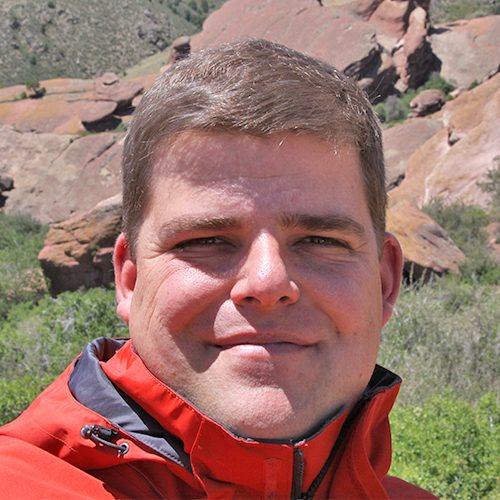
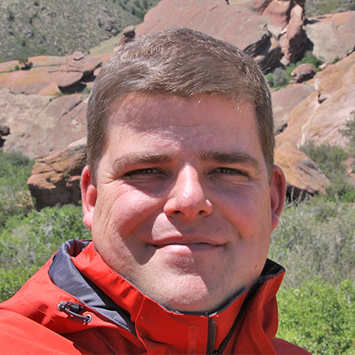
Life Cycle Geo (LCG) was founded in 2018, with the primary aim of providing innovative geoscience solutions to the mining and oil and gas industries across the project life cycle. LCG provides a broad range of technical services in the areas of geology, geochemistry and the data sciences.
In addition to these services, it is a primary aim of LCG to help clients optimize and automate their projects and realize significant long-term project cost savings using innovative artificial intelligence-based tools such as machine learning and deep learning. LCG company founder Dr. Tom Meuzelaar was the recipient of Golder Associates’ inaugural Technical Excellence and Innovation Program award for his development of a workflow for the management of mine materials through all stages of the project life cycle using structured drillcore assay and unstructured hyperspectral mineralogy in combination with unsupervised classification and supervised machine learning techniques. LCG believes that most drillcore assay data is heavily underutilized and can be used to unlock significant additional project value for our clients.
At LCG, our clients come first. We commit to:
- Carefully listening to your needs before offering a solution
- Delivering a quality product on time and within budget
- Providing an appropriate level of communication throughout the project duration
- Remaining flexible and adaptable as project and client needs evolve
- Conducting our work with the highest level of professionalism, integrity and care
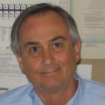
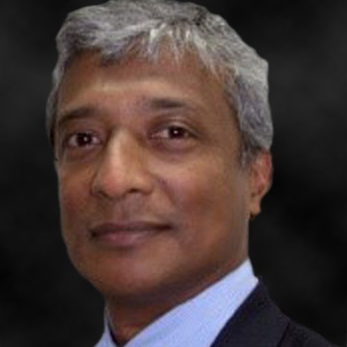
Eric Grunsky
Geochemical and Statistical Consultant – Canada/Australia
B.Sc. (Hons) Geology, (Univ. Toronto); M.Sc. Geology (Univ. Toronto); Ph.D. Geology (Univ. Ottawa)

Eric Grunsky -
Geochemical and Statistical Consultant – Canada/Australia
B.Sc. (Hons) Geology, (Univ. Toronto); M.Sc. Geology (Univ. Toronto); Ph.D. Geology (Univ. Ottawa)
Registered Professional Geoscientist (P.Geo.) – Province of British Columbia; Fellow of the Association of Applied Geochemists; Member of the International Association for Mathematical Geosciences; Member of the Society of the Geochemical Society; Recipient of three distinguished awards in the applications of mathematical/statistical geosciences.
Eric has +35 years of experience in a range of geosciences disciplines including mineral exploration, geologic mapping, geochemical surveys and resource assessment. Eric is an internationally recognized expert in the evaluation and interpretation of geochemical survey data at continental, regional and camp scales. This includes geochemical data derived from rock/drill core, till, lake sediment, stream, soil and weathered materials geochemistry. His expertise has been used to identify and isolate areas of mineralization for a range of commodities including precious metal, diamond, base metal and uranium deposits. Eric employs the use of advanced statistical methods that include spatial analysis to characterize and validate geochemical processes associated with background lithologies, alteration assemblages and key mineralization signatures. He has published extensively in peer-reviewed journals and has made many presentations at mineral industry conferences.
Eric’s studies and consultancies have included the following commodities and deposit types: Lode gold, volcanic-hosted massive sulphides, porphyry, intrusion and sedimentary hosted uranium, IOCG
Eric has carried out work in: Canada, Australia, USA, Ireland, Greenland, Argentina, Mexico, Indonesia, Middle East
He has extensive experience in statistical and modelling software including: R Statistical Modelling Environment, Quantum GIS, ENVI, ERMapper, ArcGIS 

TerraCore provides infrared drill core imaging services and image processing solutions focused primarily on geological applications. Using SpecIm cameras imaging in the VNIR, SWIR and LWIR, we are able to provide our clients with a rich mineralogical data set, and a digital library of their drill core archives. We operate a variety of mobile systems that are suited to any site, from laboratories to remote exploration and mining camps. Any sample, from full core, to chip and hand samples can be imaged. The spectral data we collect can be integrated with other data sets such as geophysical and litholigical logs, and geochemical results allowing for application to geometallurgy, orebody modeling and alteration modelling amongst others. Our data sets can easily be imported into most commercially available 3D modeling software packages.
To date our hyperspectral core imaging systems have scanned and processed over 700 000m of drill core for various mining, governmental and academic clients in Africa, North and South America, Australia and Scandanavia.
We are proud that ALS has chosen TerraCore as their technological partner for hyperspectral imaging.

VanGeochem provides expert consulting services in applied geochemistry and exploratory data analysis with a focus on geometallurgical applications. We are passionate about innovation and improved business practices in the mining industry towards mineral-systems thinking and geometallurgy. We use a broad definition of geometallurgy that includes all activity from exploration to mine closure: to optimize the use and utility of geoscientific data throughout the life of a minerals project, for the purpose of forecasting its mine-planning, processing, and waste-management characteristics. VanGeochem has a global client base and over 15 years’ experience in the mining industry.

